Weather Drove 84.6% of Urgent Maritime Safety Messages Sent During 2025
An analysis of 106,975 broadcasts alongside three years of GMDSS distress data puts tankers at the top of the call list
Inmarsat Maritime has launched a Maritime Safety Data Hub built on three years of Global Maritime Distress and Safety System data combined with an analysis of 106,975 maritime safety broadcasts transmitted during 2025, and the distribution of those messages is heavily weighted towards a single cause.
Weather accounted for 84.6 percent of all urgent messages, with storms representing 75 percent of identified weather hazards. By linking safety broadcasts to distress calls, the study identified several instances where a distress call came from an area for which a weather warning had already been delivered. That does not establish causation, but it does show a clear temporal relationship between meteorological hazards and periods of elevated operational risk, and it makes the case for treating broadcasts as an input to routing rather than as background traffic.
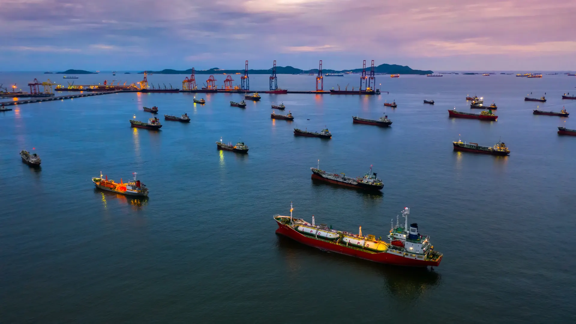
The distress volume itself has been stable. Inmarsat received 741 GMDSS calls in 2025, against 788 in 2023 and 801 in 2024, keeping the three-year trend broadly consistent with historical averages. The composition is more revealing than the total. Tankers made the highest number of calls at 203, almost twice the 105 recorded by bulk carriers in second place. Container ships were fifth with 54.
The tanker figure sits alongside an operating environment that has changed faster than the equipment on the bridge. Alongside the traditional causes of weather, machinery failure and navigational incidents, the segment now faces sanctions regimes, electronic interference and the growth of shadow fleet tonnage operating outside established regulatory frameworks. Disruption in the Red Sea, sanctions affecting tanker operations and heightened tension around the Persian Gulf and Black Sea all altered traditional routes during 2025 and added operational complexity. GPS spoofing, signal jamming and other navigational disruption increased in strategically important corridors, particularly in the Middle East, and container ships were among the vessel types affected.
Diversions carry their own exposure. To avoid the risk of physical attack in the Red Sea, major operators routed their ships around the Cape of Good Hope, adding up to two weeks to voyages and increasing fuel consumption, crew workload and the time a ship spends at sea.
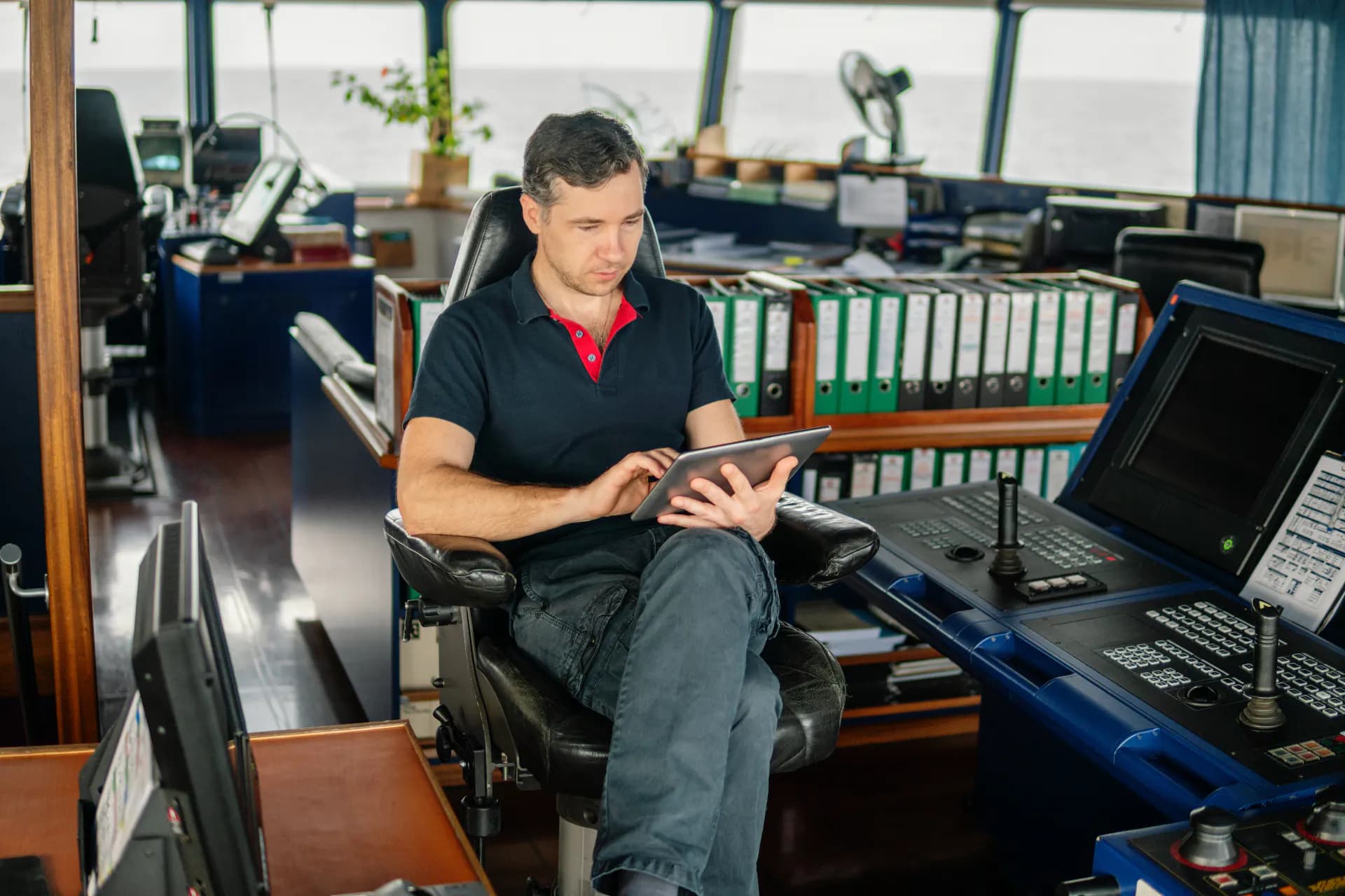
John Dodd, director of maritime safety at Inmarsat Maritime, said: "By bringing weather information together with distress data, the Inmarsat Maritime Safety Data Hub introduces a powerful new layer of maritime intelligence." He added that the value of safety information lies in giving ships and operators the time to make informed decisions, whether the threat is extreme weather or geopolitical instability.
The analysis was carried out with the supply chain consultancy SeaFocus. The resulting platform allows users to filter the data by vessel type, region and incident category, which turns a body of oil tanker and bulk distress traffic that was previously read one message at a time into something a fleet operator can query.